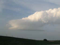
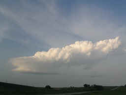
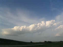
Basically, there's enough low level shear to spin and sculpt these bases, but not enough instability to keep the updrafts vertical against the shear. The result, at least on this day, was a perfect balance of continuous horizontal updrafts! Quite a sight.
Jeff Gammons has great time lapse of this on his Weathervine site. Considering we saw this after declaring the day a bust, we were happy as could be.