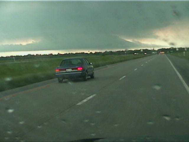
Not far east of State Road 71 this storm rocketed away from me and, despite chasing as hard and persistently as I could due east between Rich Hill and Rockville, I abandoned the storm southwest of Appleton City and turned back to the west for the second supercell of the day, coming hard on the heels of the first one and moving toward Fort Scott. We believed these storms were moving along a boundary, either the warm front or the earlier analyzed outflow boundary.
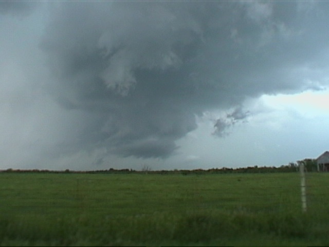
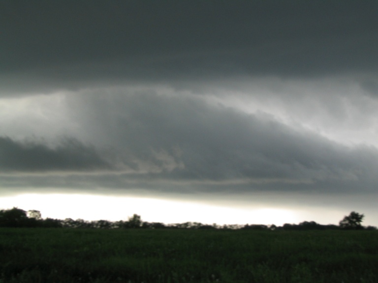
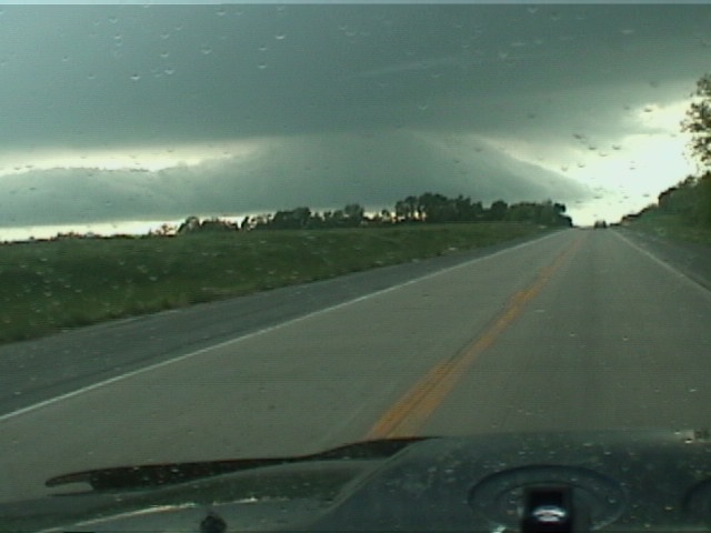
When I crested a hill on 54 near Deerfield, a massive mesocyclone with striking inflow tails on either side and beautiful laminar symmetry hung beneath this classic though slightly elevated supercell. Mike Hollingshead was under this storm again and reported that it appeared to be undercut, perhaps by the very feature we counted on for horizontal vorticity and nuances of boundary magic. The cool air behind this outflow may have ‘cold-fronted’ the updraft and left us only with this impressive structure, which was variously reported as everything from a tornado on the ground to Elvis’s Flagship UFO. I told my nowcaster that under no circumstances would I abandon speedy and straight State Road 54 this time, because the smaller roads offered no hope to keep up with storms.
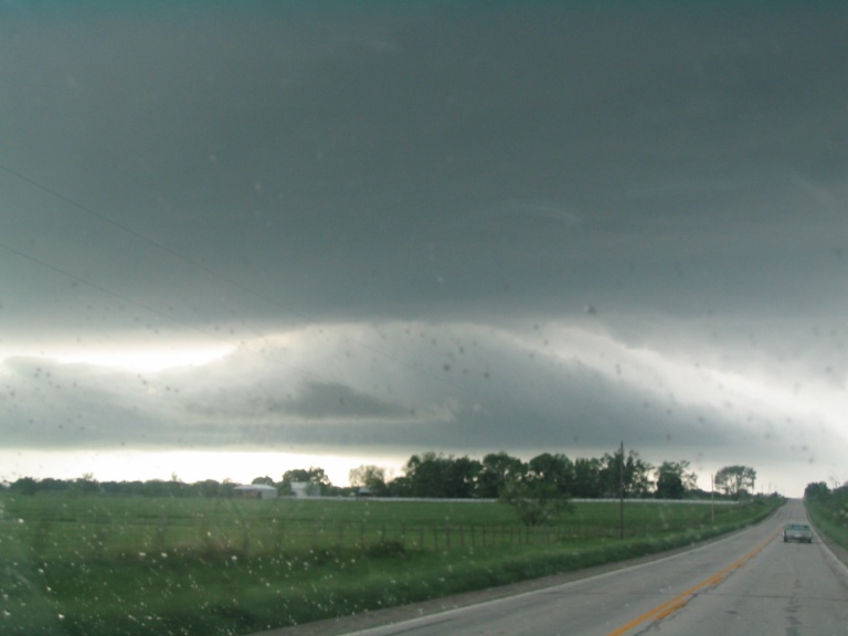
Large meso beneath Fort Scott, MO supercell
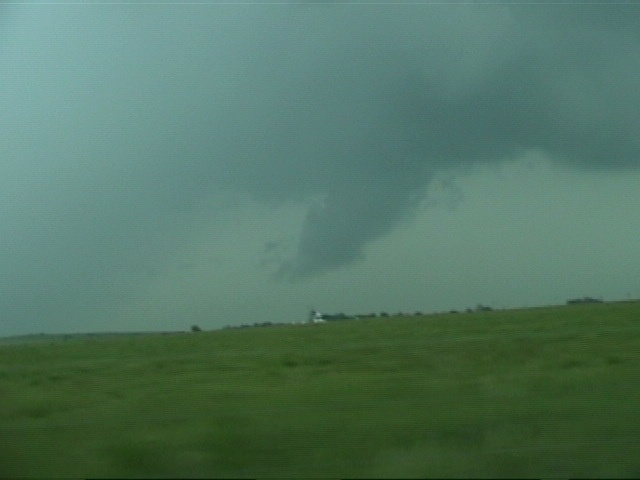
Once again I tried to catch and reposition myself to no avail. I considered shutting it down and moved south and east toward State Road 160, thinking that I might catch sight of another storm approaching from Joplin. Drifting in the precip between two storms as another merger took place, I came out of the rain curtains around 7:30 to find a surprising wall cloud hanging from a meso right in front of me, just west of Golden City on State Road 126.
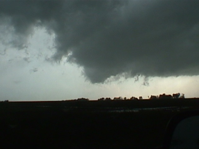
Dade County surprise meso and wallcloud
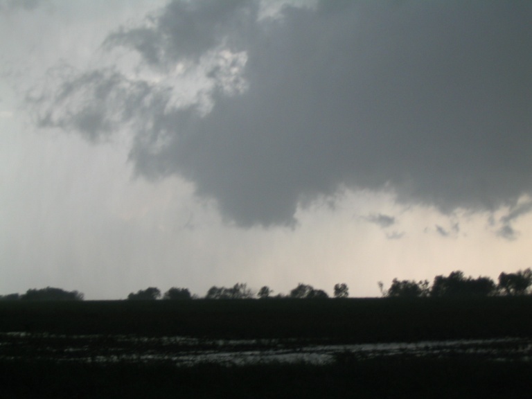
Karen Rhoden mentioned this Bolivar tornado report in an earlier post and Dave Crowley replied. However, I believe Karen’s post concerned this last, third storm that I’m describing—the Dade County storm—and I think Dave’s reply concerns the second storm, the one which produced a remarkable meso misreported as a wall cloud over Fort Scott. I saw both storms and they were very different. The Fort Scott meso storm merged and disappeared well before the Dade County meso cranked up.
I chased as hard as I could on 160, through the towns of Greenfield and Walnut Grove, taking road BB to continue due east. At this point I was due north of Springfield, and about to run out of gas, not from neglect but from a complete lack of opportunity to refill. South of Morrisville, I knew I was finished and that I’d need a gas station soon. Of course, the power was out in the village and, as we all know, gas won’t flow without the electricity to run the pumps. I rolled to Brighton on fumes and found a working station, then packed it in for the night.
Many thanks to Jeff Gammons, Jeff
Lawson, and Robert Hall for great nowcasting, and Mike Hollingshead for comparing notes
from alternate angles.
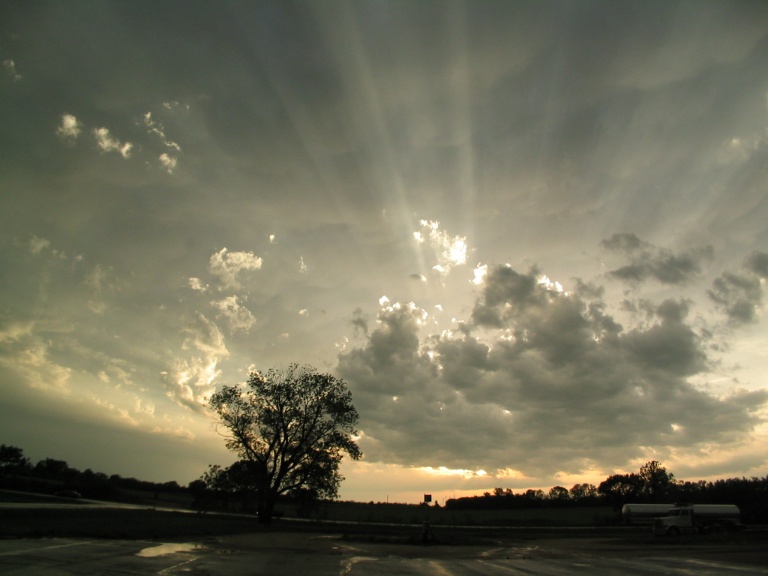
Godlight over Brighton, Missouri