We
drove all the way from north of Kansas City to chase Western Oklahoma, and picked up the
storm first at around 7:50 PM in Washita County, near Cordell, about fifty miles
west of Oklahoma City where it would eventually tornado. Before our chase was
finished we would log several hundred miles following the day's strongest thunderstorm for
over eight hours, through Oklahoma City and along its path of destruction all the way to
east of Tulsa, finishing at nearly 3:00 AM.
In Washita County, the storm exhibited strong rotation and an impressive tailcloud and
several large rotating wallclouds.. We were amazed that it didn't put anything down
through the first several cycles, and around 8:30 PM we believed the old meso had died and
a new one, forming to the southeast, held our attention. Instead, the old meso
rejuvenated and produced an apparently strong, rain-wrapped tornado near the leading edge
of the storm, the first of many tornadoes from this supercell.
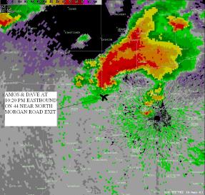
We followed one of the Doppler on Wheels (DOW) vehicles into western Oklahoma City
and made our way to Interstate 40, then 44, and finally north and east toward Interstate
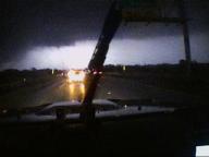
35. By this time, a large tornado was moving through northeastern Oklahoma City, and
we witnessed powerflashes in those directions as seen in the video captures below.
At 10:36 PM, Dave and I approached the 44/35 interchange, about one mile west of the ramp turning north. Powerflashes illuminated the tornado as it crossed Interstate 35 at Britton Road. Later we learned that several chasers abandoned their vehicles for shelter beneath an overpass at this time.. We approached the 44/35 interchange as the flashes silhouetted the tornado to our north-northeast. The southern edge of the tornado is visible in the video captures below.
When the DOW turned south on Interstate 35, we followed, and encountered strong inflow. We commented how the tornado must have been right behind us, which indeed it was. On the video, we sound wistful about turning away from the storm, but neither of us was in any mood to buck the guys with the radar. We dropped south and turned east on State Road 62, a maneuver which cost us time but allowed us to catch the main act again before the night was done.
At last we emerged from the eastern edge of the OKC metro area, and approached Interstate 44 (and the hook) from the south a few times, careful to monitor television, radio, and amateur radio reports about the location, speed, and movement of the tornado. We never intended to enter the interstate, but rather hoped to view the tornado from the south or southeast side, as it continued moving northeast. Most chasers know that Interstate 44 is a turnpike with long exit-less stretches, and, at the time, it was uncertain if the tornado would wobble back onto the highway itself.
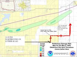
At 11:06 PM we turned north onto Luther Road, the tornado due north of us by six miles. We observed a lowering obscured by trees. At 11:14 we turned east onto Britton Road. At State Road 102, about 11:20 PM, we turned north again, and captured images of what appears to be a large tornado ahead of us. Radar imagery and damage path graphics below indicate that this was indeed one of the two tornadoes that moved south of the turnpike. However, we didn't see this at the time, though scan by scan nowcasting from Jeff Gammons indicated that the tornado should be directly ahead. At 11:29, practically creeping along the highway, we encountered sudden, shifting winds, and the sound of wind in the trees rose rapidly. We turned back immediately and now believe we had neared the outer edges of the mesocyclonic circulation or the tornado itself.
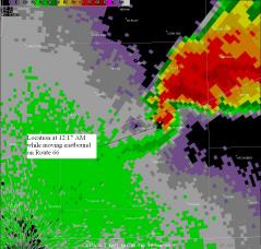
At last we gained Route 66 and followed it east, knowing full well the
tornado was in front of us. We were content to stay behind it. Along the way
we captured images of what became the Stroud tornado, and more than once reached the
wrap-around precip on the back side of the hook. Several times we stopped to give
this tornado some room. We entered Stroud around 12:30 AM, moments after the
tornado. Reports of a second circulation moving toward town sent us scrambling back
onto 66, seemingly between two tornadic circulations, one ahead--the consequences of which
were all too visible--and another mysterious circulation behind us. By now Jeff
Gammons stayed on the phone constantly, relaying reports from text products as well as
radar, and we felt as informed as possible given the strange circumstances.
From there the chase was a marathon that we eventually lost. Around 2:30 AM, somewhere in
southern Tulsa County, we gave up and let the storm pass into the night. This was
by far the most exhausting chase of my life, and in many ways the most frustrating.
At the time, we didn't know what, if anything, we had seen. What's more, our
sheer depletion the next morning influenced our decision to chase eastern Oklahoma later
that day (May 10) rather than Missouri, where over eighty tornadoes gave chasers the
single biggest day of the year. Dave and I found another supercell later that
afternoon, but hardly the sort found up north, and ours produced a tornado at a
moment when the base was blocked from view by a town.
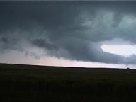
Tailcloud on parent thunderstorm while
severe in Washita County at 8:00 PM


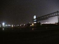
Powerflash seen from 40 and Meridian looking NE
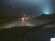
10:22 PM: Powerflashes to the north while we're northbound on 44
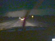

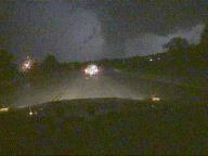

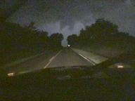
11:12 PM Four miles south of Luther


Moments later
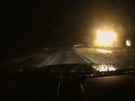
House fire on outskirts of Stroud at 12:35 / eastbound on Route 66
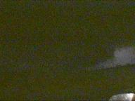
12:14 AM 2 miles east of Chandler looking ENE while eastbound on Route 66

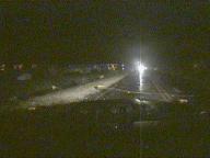
Fallen power pole on Route 66 at 12:38 AM eastbound
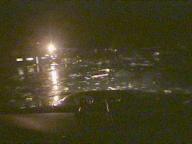
Damage in Stroud at 12:38 on Route 66. At this time, a second tornadic circulation was approaching the city
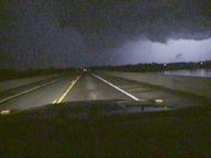
2:30 AM southwestern Tulsa County
