Wednesday night, we had noticed the 50 degree dewpoints ETA forecasted surging into northeast Colorado, but since we were in Central Iowa, we tried to ignore the strong midlevel flow and easterly surface winds feeding into the post-cool front environment. Several ingredients looked supportive of Front Range upslope storms, and the memory of last Monday when I played southeastern Wyoming rather than the DVCZ was fresh. This morning we decided to go for it.
The storm began as a miniature supercell which struggled with balance and frequently produced cool outflow and a ragged base. When the storm slid into southern Morgan County, it strengthened dramatically, such that within fifteen minutes the entire storm was rotating, surrounded by elevated inflow bands that arced into the mesocyclone like the feeder bands of a hurricane. At this time, the storm was a beautiful LP, but suffered from a lack of rain-cooled air to add condensation to squared collar clouds.
West of Ft. Morgan, this trend changed. A large rain shaft developed, and the base lowered rapidly, including several rotating wall clouds and needle funnels that never reached the ground after suffering from cool and blustery RFD, one instance of which reached about fifty knots. This was in Wiggins, where the initial report of a tornado was made. This report was incorrect. Rather than a tornado, a large RFD plume blew up southwest of the meso, and even held a columneque shape momentarily before blowing sand and dirt into our eyes and mouths. This was an understandable error--the plume looked much like the beginnings of a ground circulation but was not.
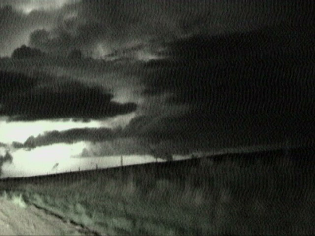
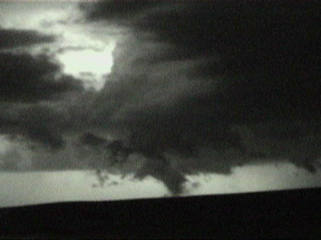
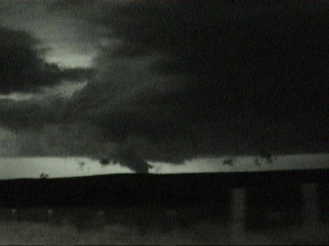
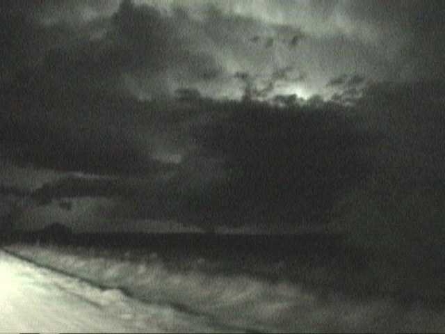
We followed the storm to Ft. Morgan, then used dirt roads to the north and east, zig-zagging from Brush, then down 34, and finally off the pavement into northern Washington County. The storm was perfectly balanced and several wall clouds and cylindrical lowerings appeared and disintegrated. During one leg of the pursuit, we looked to the north and noticed a large cone. Everybody shouted "tornado" on the radio and switched cameras to low-light settings. Frequent lightning from the core illuminated the smooth edges of the funnel and the dust plume beneath. Jeff Gammons rode in the passenger seat of the Weathervine van and shot good video. His video captures will be up soon on www.weathervine.com
Jason Foster used my camcorder's nightshot to record the event while I drove.
We pursued the storm another hour before noticing clear skies and crisp starlight on either side of the shrinking updraft column. We spent the night in Sterling, Colorado, a group of very happy and tired chasers.
Tonight's event comes five years to the day after my first tornado. It was also the last day of Raul
Benitez's chase vacation with the Florida gang; he'll be returning to South Florida on Saturday morning so we were glad to show him his third tornado in a week We enjoyed chasing with Tony Laubach, Ken McAllister, Garry Wellman, Garry's pal Travis, and a few other along the way.

"SEVEN YEARS ON CYCLONE
ROAD" DVD
(click DVD for info)