
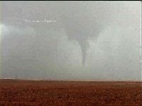
Tornado #3 southeast of Patricia, Texas ~0113z May 5, 2006
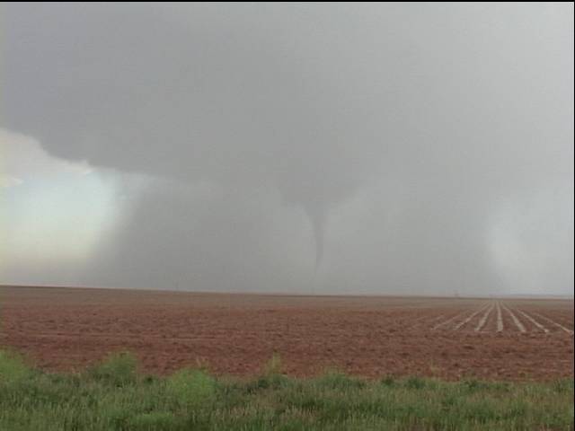
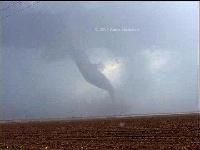
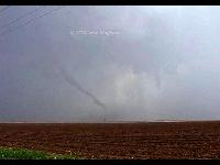
Tornado #2 southwest of Patricia, Texas ~0104z May 5, 2006
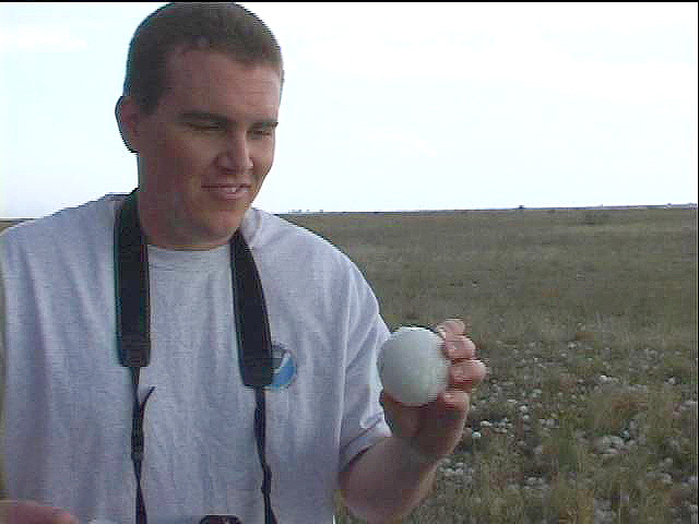
Eric Nguyen and baseball hail
Eric Nguyen and I observed two tornadoes Friday evening, the first southeast of Patricia around 0102z and the second southwest of Patricia at 0111z. The first was a tapered funnel that became visible in a circular rain curtain that surrounded the entire meso and grew into a large cone. The second was a large, cigar shaped tornado with a tapered end that emerged when we were north-northeast of a new meso. This tornado spun gracefully over a field and roped out.
Our original target was Midland where we hoped the synoptic boundary and a dryline might combine to fire storms which could move along or south of the front. We shifted north when we realized the storm near Hobbs was on the intersection of our boundaries. We noticed the cu in our area were drying out and that our winds were becoming more southerly. We went to Andrews and then north to Seminole before closing on the large, well-structured supercell.
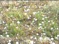
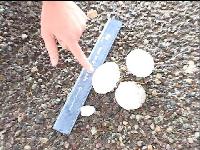
We chased the various iterations of this storm from east of Seminole in Gaines County to near Knott in Howard County. We tangled with extreme hail early in the day and as we followed behind the core were amazed by the fields full of baseballs. While we played in the hail trail, our storm became multicellular and elongated. We noticed a new meso to our southeast and a wall cloud emerging. We continued to try and flank the storm but its consistent south southeasterly motion and rapidly developing southern flank mesos effectively kept us in hail for hours. Poor road networks didn't help. Still we never saw stones the size we encountered near Seminole. At last the storm split completely and the southern cell became a powerful supercell. Soon afterwards we observed the first tornado.



All imagery © 2006 Amos Magliocco