I chased this day with my friends Tony Laubach, Scott Eubanks, Kurt Hulst, and his chase partner David Diehl.
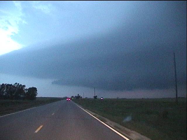
We targeted an area near Medicine Lodge and watched
the first tower go up west of town. What later became the "northern"
storm which lured some chasers and trapped others was initially
over-sheared and we waited patiently while the updraft took shape. The
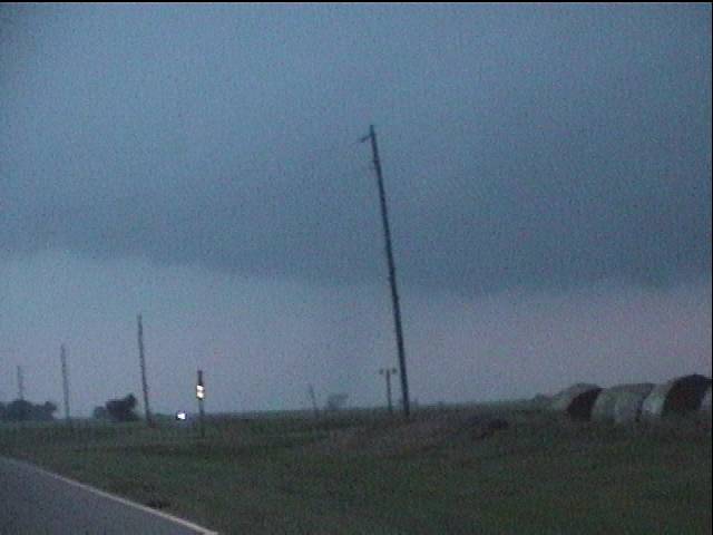
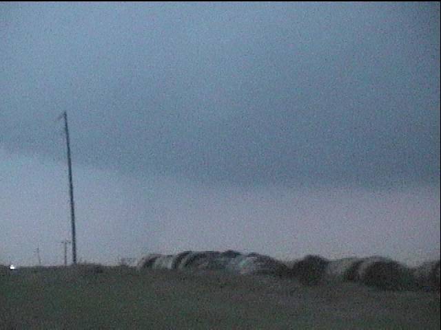
storm of the day began south of the first
cell, and immediately began to inhibit the other
storms which had developed a lowering. We didn't like the new
storm at that point, but we soon learned to embrace it.
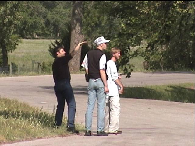
Scott Eubanks, David Diehl, and Kurt Hust (left to right)
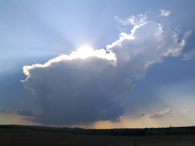
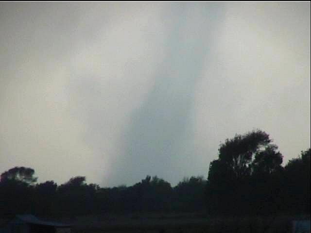
The 'northern' storm begins

Tony Laubach chills before the madeness


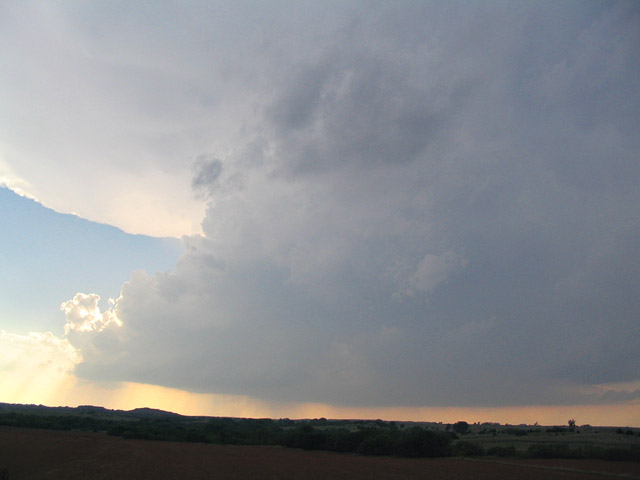
The southern storm grew dominant and began
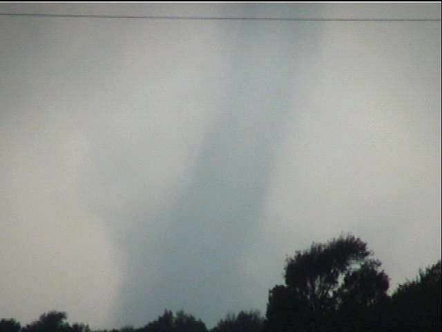
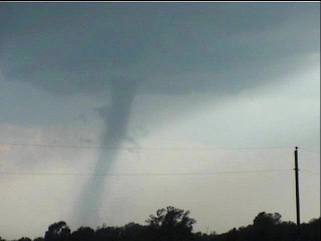
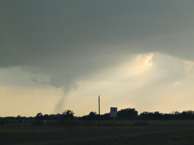
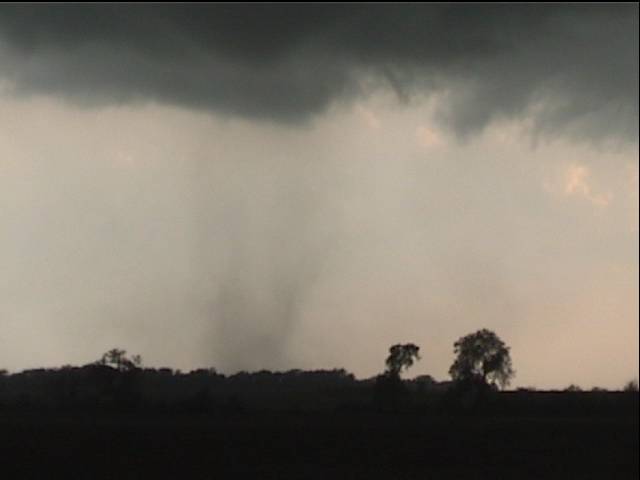
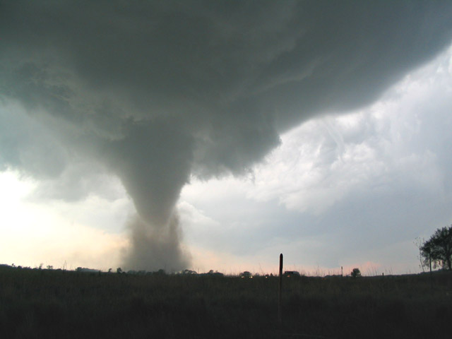
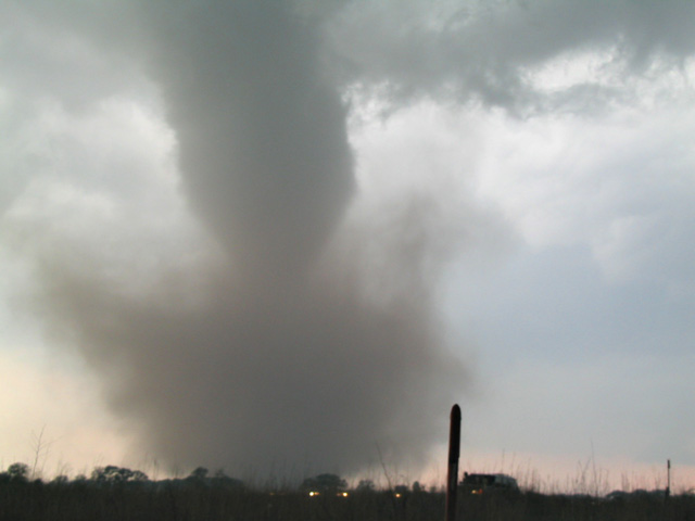
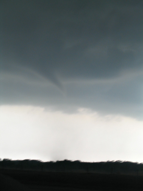
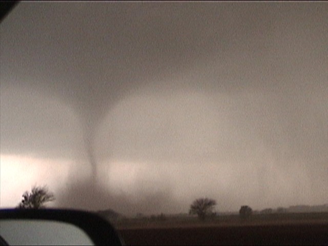
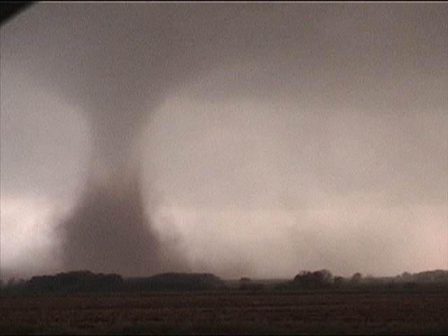
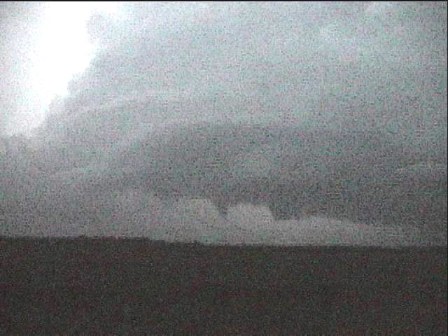
rotating. At approximately 00:10z, a tornado touched down near Sharon,
Kansas, and we filmed from a position off State Road 160. We were about
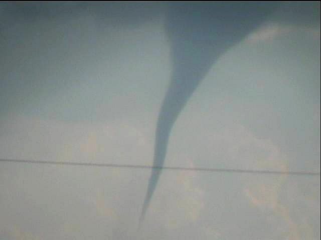
two miles east of Sharon. The first stages of this tornado
looked like a
landspout, a translucent, symmetrical funnel
surrounded the true
condensation funnel which snaked down through the sheath. All day, these
tornadoes would demonstrate interesting flow patterns as the
condensation was often absent and the circulations could be traced by
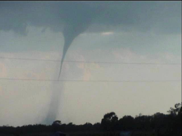
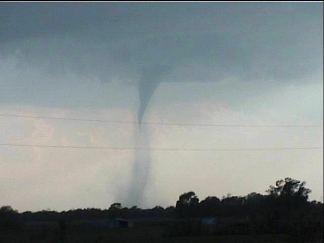
the large amounts of dust. At this time, the storm base was still
quite elevated and ragged,
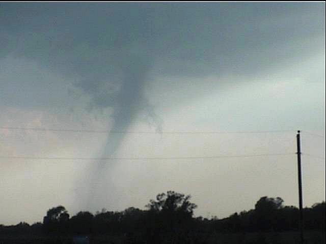
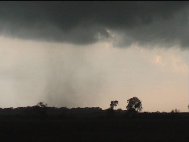
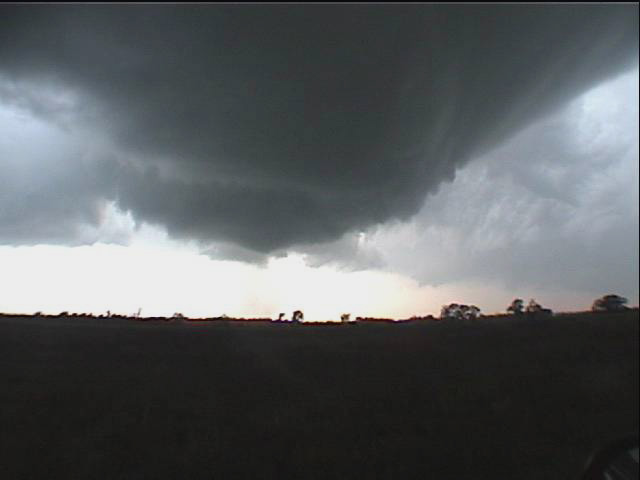
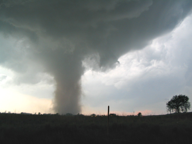
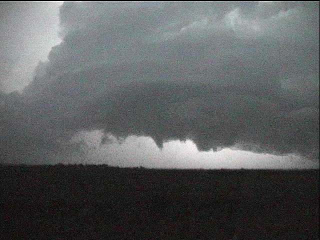
and there was no identifiable notch. Toward the middle of its cycle,
the tornado assumed more classic features, with a beaver’s tale, a clear
RFD slot, and a long condensation funnel.
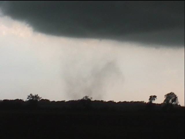
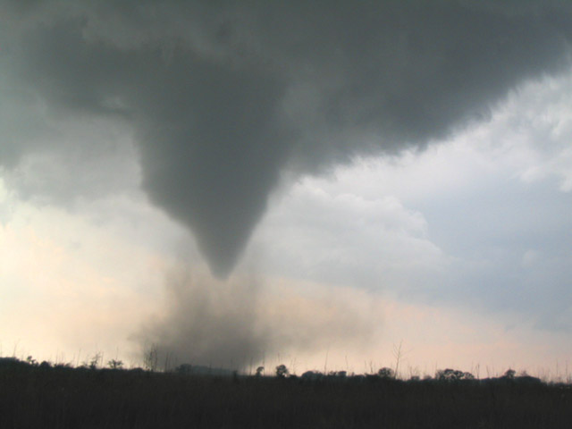
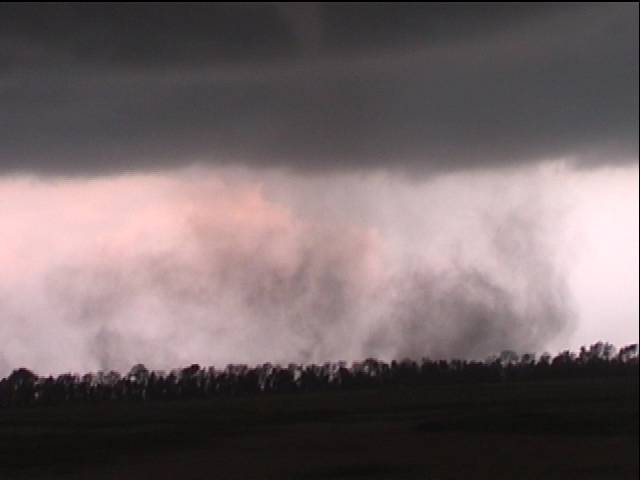
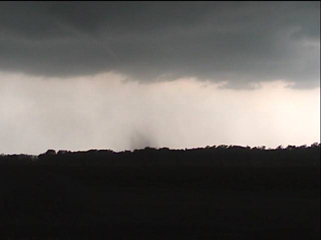
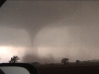
Then something interesting happened.


Condensation began to appear and rotate around the primary circulation but at some distance (see my video grabs), almost as if the tornado inflow was achieving LCL about three-quarters of the way up the tornado, but was not being properly entrained. This new satellite condensation occurred at the same time as the ground circulation and condensation beneath the new development dissipated. Was this an incursion of some lower-buoyancy RFD into the tornado circulation? Perhaps as this ‘cool’ RFD becomes a larger and larger component of the inflow (since we know that tornado inflow is always composed of some RFD air), it kills the tube? I don’t know.
Again, the storm was high based and the underside not healthy-looking. It would be interesting to know the value of the boundary layer relative humidity. With the elevated nature of the storm, my suspicion is that lower buoyancy RFD played a role in what I observed.
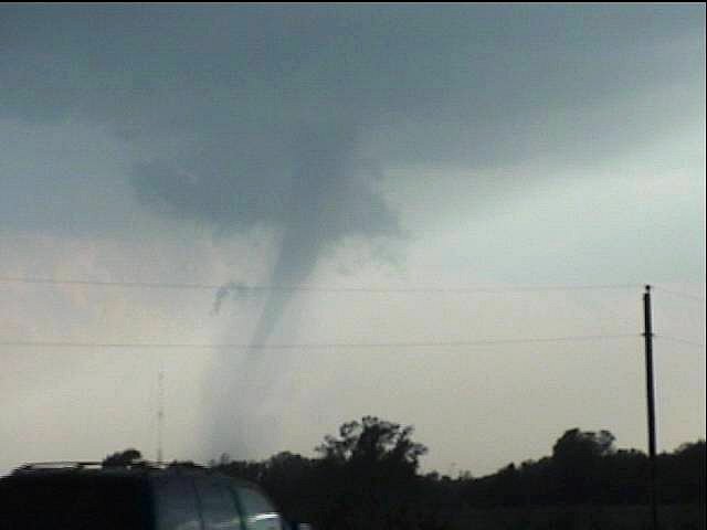
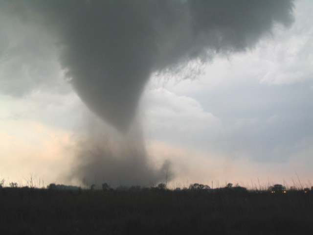
Immediately following this, the tornado resumed,
for another few minutes, the initial landspout appearance:
a weak
translucency almost identical to how it began. Remarkable.

Here the first signs of the surrounding condensation begin
More from a few seconds later
Already the ground circulation is growing more diffuse
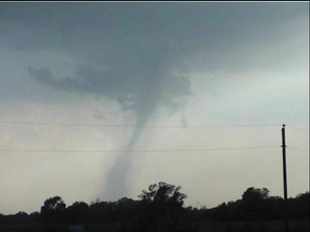
Everything beneath the condensation is disorganizing
Sort of looks more like a classic tornado structure now, but the effect is not positive
Wide angle view at higher resolution
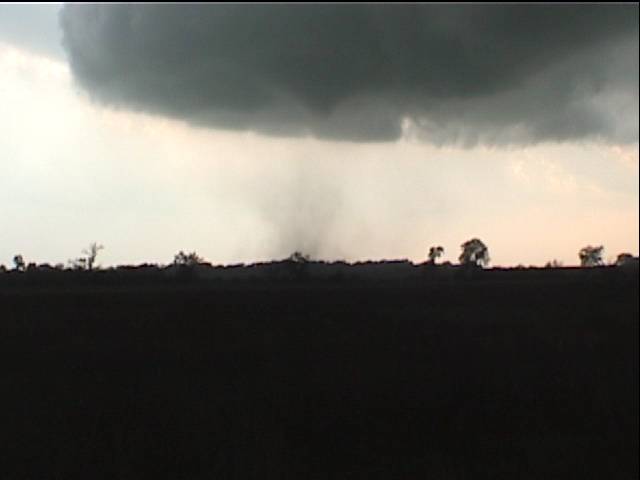
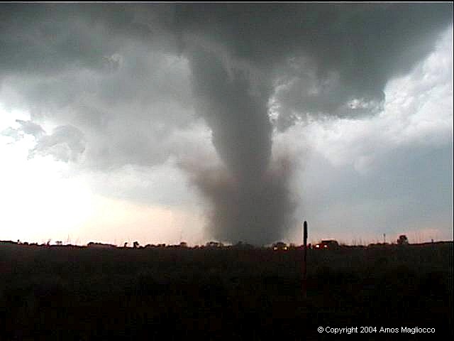
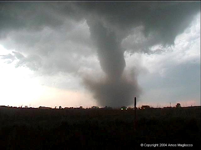
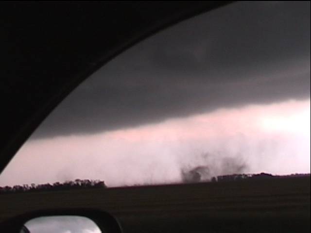
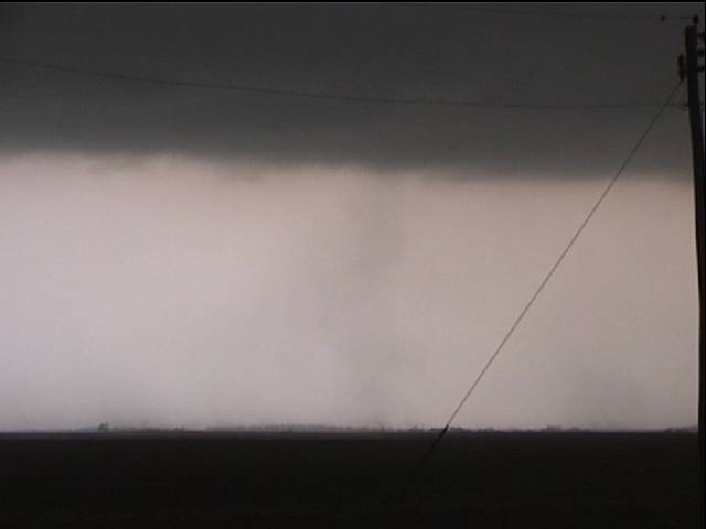
Our second tornado was another symmetrical cone
with very organized motions at both cloud base and ground level but no
real condensation. However, the swirling dirt
makes the strong circulation plainly visible. On video, it almost
appears as if an anticyclonic circulation surrounds the interior vortex
for a time. I will post time-lapse of
this later.
Tornado number two
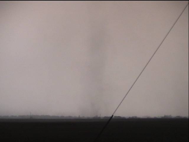
The Attica, Kansas
tornado is well-known in 2004 and this was our third tornado of
the day. Attica emerged from one of the most rapidly rotating storm
bases I have witnessed, with deeply sculpted striations and a funneled
rotation that finally raised dust beneath its tapered end. This time
condensation was not missing and the Attica tornado filled in
nicely, and grew to a tall, graceful stovepipe
before roping out. This tornado was rated F3.
The powerful Attica meso
Attica tornado touches down
Approximately 0113z


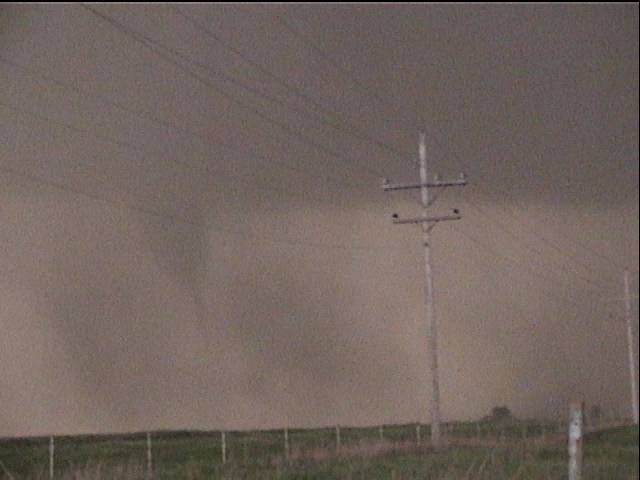
Tornado number four appeared south of 160.
Tornado number five began three miles west
of the 160/2 intersection, just south of 160 by less than 300 yards at
approximately 8:17 PM. Because it seems to be a separate circulation and
definitely assumed a distinct shape, as opposed to the unorganized
nature of the prior tornado, I have segregated them.
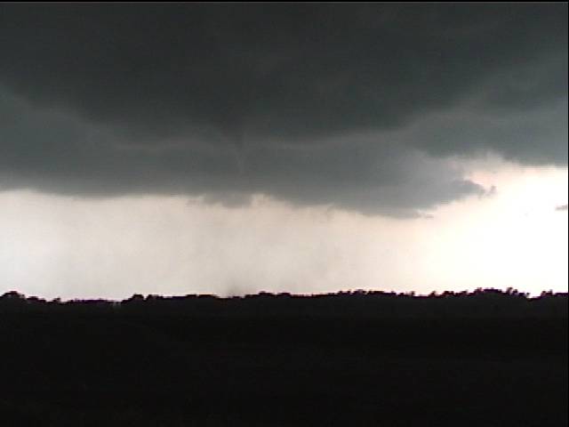
Tornado number five ~0122Z
The ghostly tornado six.
At ~ 0125 UTC, I stopped on State Road 2, just south of the intersection of 160/2 (south of Harper, north of Anthony) and filmed the first stirrings of tornado number seven. This new tornado was just west of the road, assumed a funnel-shaped condensation from the top and gathered a swirling drape of black dirt around its base for a menacing appearance. Two minutes later, we headed south on State Road 2 as the tornado filled in rapidly.
Our goal was to move south of the tornado before it
crossed State Road 2, and the benign growth and movement of the vortex
as we began rolling gave us confidence that this would not be a
problem. But tornadoes are unpredictable, and Scott Eubanks' video
shows the tube's dramatic acceleration in our
direction. Within thirty seconds it became a
dark cone with a black circulation of dirt at the base. Rain and debris
flew across the highway, sucked into the burgeoning
debris cloud. The inflow crosswinds were fierce and it was
difficult to communicate on the radio. I managed to film the tornado
with one hand, and when we emerged finally south of its path, I shot the
video through my back window. This tornado was rated F2.


South of the tornado's path I turned and filmed as it approached the road. This was tornado seven.

This DOW vehicle was quite close and had the tornado not slowed and moved more northerly than its initial heading, the results might have been unfortunate.
We continued south on SR 2
toward Anthony to examine a newly-developed storm. At 0149Z,
this produced another thin tube, tornado eight,
we have forgotten about, but it's in the video. At the
time, Scott, Tony, and I all agree
on the radio that there is a see-through cone extending from base
to ground, which of course fits with the presentation many
tornadoes that day.
Then at 0207z, from west of Anthony, we observed
another lowering with a massive, bowl-shaped updraft. Hanging beneath
this is a persistent funnel cloud. By the time we noticed it, it was no
longer so low to the ground. However, the camcorder saw everything,
including what I suspect was tornado number nine of the day.
If we understood anything by the end of May 12, it was that condensation
funnels on the ground were not the benchmark for these tornadoes.
Most were translucent cones or funnels during their cycles.

Scott Currens' damage survey
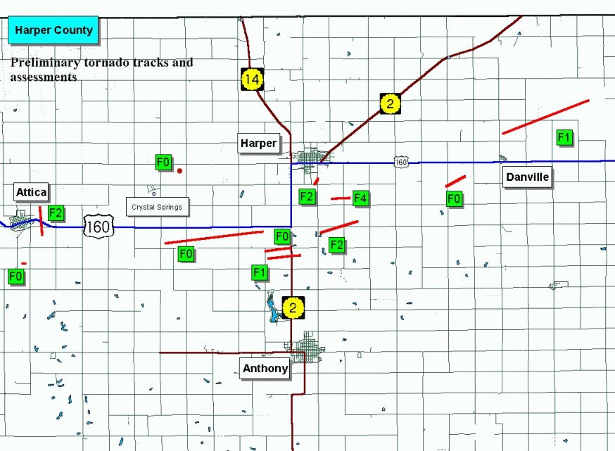
NWS initial survey

Reflectivity during Tornado 7
Thanks to my great chase partners that day and to XM for helping us decide to stay south.